Looking for an investment worth your time and money? You may already have it in your arsenal.
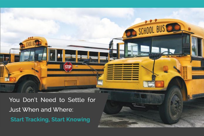
It’s time to start fully leveraging your GPS-equipped vehicles. If you’re not there yet – we’ll break down why investing in GPS equipment is important for any size district, urban or rural.
The data you can harvest from your GPS equipment plus smart transportation software is a potent combination, and it’s not just for large districts.
Deployed correctly, the combination of GPS and smart software:
- Promotes student safety
- Lets you make data-driven decisions
- Frees up valuable resources (saving you money, or letting you use them in other areas)
- Lets you provide better service to your stakeholders
- Lets you report reliably about how things are working
GPS is for more than just knowing where the bus is!
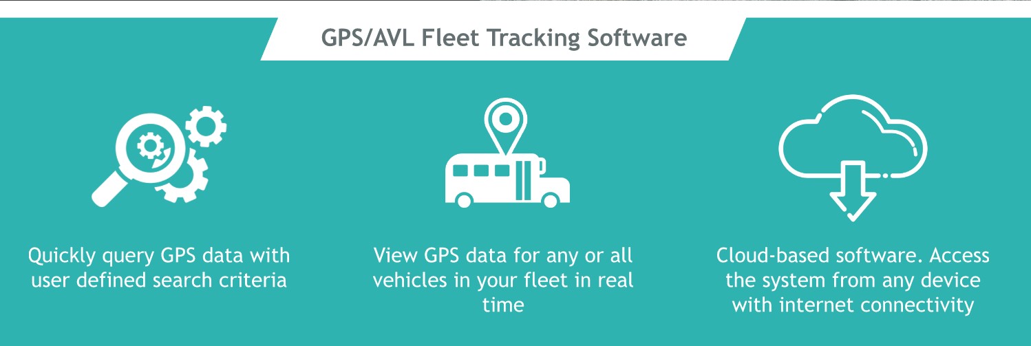
Working Hand in Hand: Software makes the GPS better and GPS makes the software better
District A – Edulog Routing Software + GPS
Serves over 25,000 students
300 buses
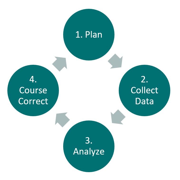
District A had been a strong user of Edulog’s transportation routing and planning software for many years before they invested in GPS equipment. Adding GPS data – real on-the-road operations data – to their robust planning operation allowed them to dramatically streamline the continuous improvement feedback loop between planned transportation and what’s actually happening on the road, making the road safer and the plan more reflective of road conditions.
District A realized both short-term and long-term benefits from their integrated deployment of Edulog’s planning software and their GPS units.
Short Term Improvements
- Better substitution management (knowing exactly which vehicle is driving which route)
- Fast responses to third-party inquiries about bus locations
- Accurate, data-backed incident investigations
Long Term Improvements
- Identify and resolve safety issues relating to unscheduled stops
- Better driver relations via driver feedback could better be incorporated into planning and driver compliance could be monitored and incentivized
- Improved vehicle utilization by reducing run bloating from unused stops
- Improved plan accuracy by using on-the-road data to correct run times
District B – Edulog Routing Software + GPS + Tablets + Parent Portal
Serves over 10,000 students
150 buses
Like District A, District B had been a strong user of Edulog’s routing and planning software before deciding first to add GPS to the mix. A parent communications app and on-bus tablets were added to maximize GPS benefits.
District B is especially proud of its near-perfect execution of its comparative analysis business process, which led to exceptional on-time arrival performance data, which in turn led to a high level of credibility for the school district transportation department.
District B’s additional investments in tablets and a parent/caregiver communications app let it provide better transportation service to its stakeholders while significantly reducing the marginal transaction cost of providing that service.
Even better, District B had the foresight to make these investments prior to the beginning of the COVID pandemic. District B’s tablets (equipped with electronic vehicle inspection reporting and electronic payroll/attendance) let drivers do their jobs safely, minimizing the amount of in-person interaction required for daily administrative activities.
Furthermore, onboard driver directions provided on the tablet mean drivers can handle changes to their routes with little fuss. And Edulog’s Parent Portal helped District B communicate efficiently with parents and caregivers about frequent pandemic-related changes to routes and schedules.
![]()
District C – Edulog Routing + GPS + Tablets + Parent Portal + Student Ridership
Serves > 8,000 students
~ 70 buses
District C enjoys a beautiful geographic location in the mountains, but this brings with it special challenges for the transportation department, which must transport both students who live in the densely populated urban core and students who live miles from school in sparsely populated rural areas. Add to that the northern latitude and there is a large part of the year when the school day starts and ends in or near darkness. In this type of environment, ensuring student safety is a particular challenge, and requires absolutely accurate information, whether plan (“when is the bus scheduled to be here”) or actual (“is the bus here”).
During the pandemic, using its Edulog transportation routing and planning software and the parent app, District C was able to pivot from student transportation to meal delivery quickly and efficiently. The combination of GPS data, accurate route information, and parent communication tool ensured that District C could deliver meals on time and to recipients who knew exactly when to be at the bus stop to receive their meals.
Now that school is back in session, parents and caregivers have reliable and accurate information about if their students are on the bus and when to collect their students at their stops.
Interested in GPS for your district? Get started here.


